Dardenne Prairie Commute Guide to Major Job Hubs
March 5, 2026
March 5, 2026
Thinking about living in Dardenne Prairie and working in Chesterfield, Clayton, or downtown St. Louis? You are not alone. Commute time is a big part of your daily rhythm, and knowing what to expect helps you pick the right home and plan smarter workdays. In this guide, you will see realistic drive times, the main routes locals use, Park-and-Ride options, and simple tactics to avoid sitting in traffic. Let’s dive in.
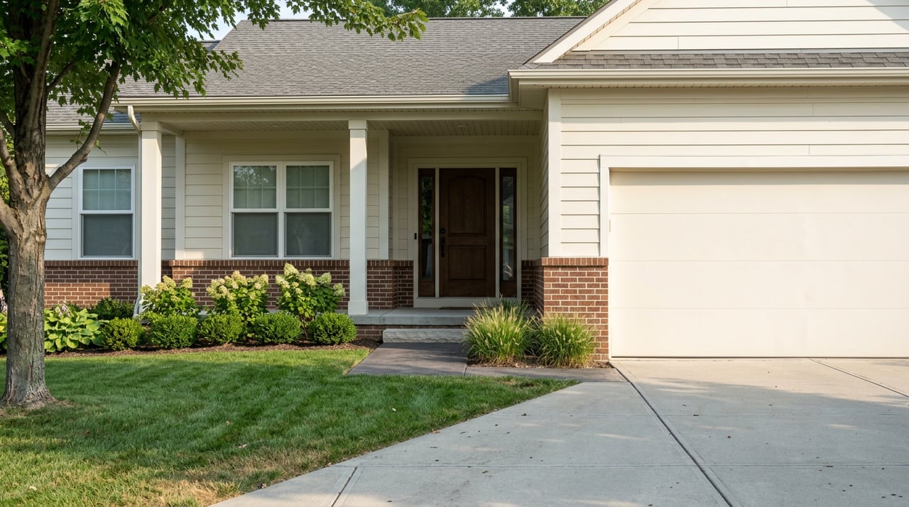
Dardenne Prairie sits on the western side of the St. Louis metro in St. Charles County with quick access to Missouri Route 364 and the I-64 corridor. Those two corridors connect you east toward Chesterfield, Clayton, and downtown. According to the U.S. Census QuickFacts, the city’s mean travel time to work is about 24.0 minutes, which gives you a helpful baseline for comparison to the trips below. You can view that baseline in the Census profile for Dardenne Prairie. See the Census QuickFacts profile.
Route 364 is a high-capacity east–west freeway that links St. Charles County to west St. Louis County and ties directly into the broader interstate network. If you work across the river, this corridor often sets the tone for your commute. Learn about Route 364’s role in the region.
The times below reflect typical non-peak, non-incident conditions. During rush hour, allow extra time and always check live conditions before you go.
| Destination | Approx. Distance | Typical non-peak time | Typical peak range | Primary route |
|---|---|---|---|---|
| Chesterfield (Valley/Mall area) | ~16 miles | 20–25 min | 25–40+ min | MO-364 or local connectors to I-64 east |
| Clayton (county seat) | ~30 miles | 35–40 min | 40–60 min | I-64 east toward central St. Louis County |
| Downtown St. Louis | ~36 miles | 40–45 min | 50–75+ min | I-64 east into the core (I-70 from northern approaches) |
Sources for baseline drive estimates include regional route aggregators such as Distance-Cities for Chesterfield and Rome2Rio for downtown St. Louis. Times assume normal traffic and no incidents.
Before any big commuter day, check the Missouri Department of Transportation’s traveler information and current work zone notices. View MoDOT traveler information and advisories.
Traffic engineers use a Travel Time Index (TTI) to describe how much longer a trip takes in peak periods. Peak windows are typically 6:00–9:00 AM and 4:00–7:00 PM on weekdays. See the FHWA overview of peak measurement windows.
In the St. Louis region, interstate travel often runs about 15 percent longer in the morning peak and 20–25 percent longer in the evening compared with free-flow times, based on regional summaries. Review a regional TTI/PTI summary.
What that means for you:
If you prefer to skip part of the drive or want a simpler downtown or Clayton arrival, Park-and-Ride can help.
How locals combine options:
If you are in the office most weekdays, living near MO-364 or an I-64 access point can trim meaningful minutes off your morning and evening drives. If you commute less often, you might prioritize larger lots, trails, and parks even if they add a few minutes to your freeway approach.
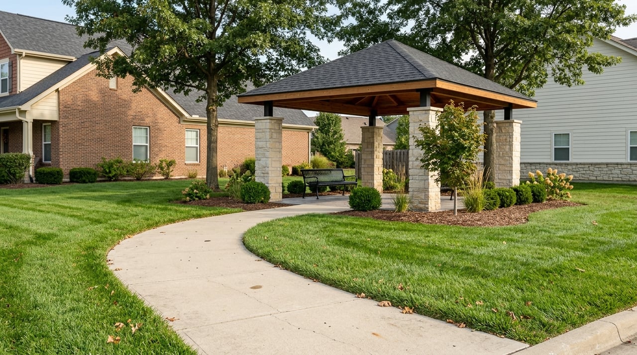
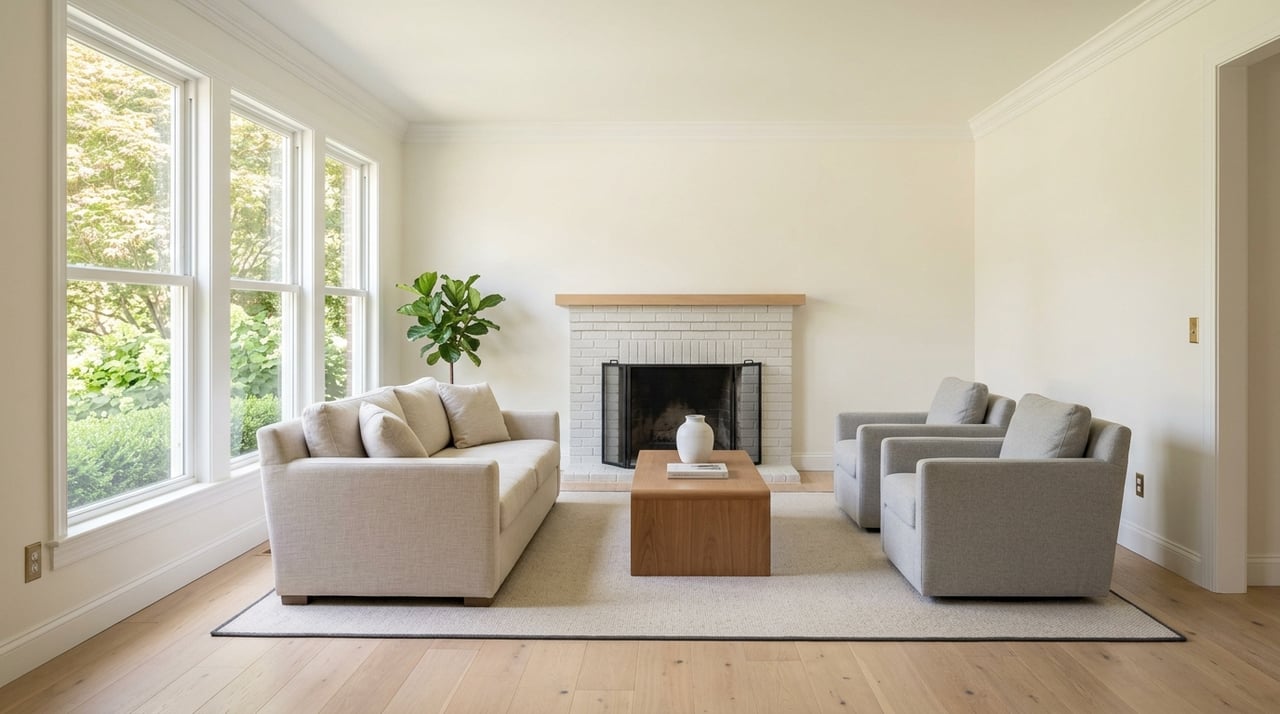
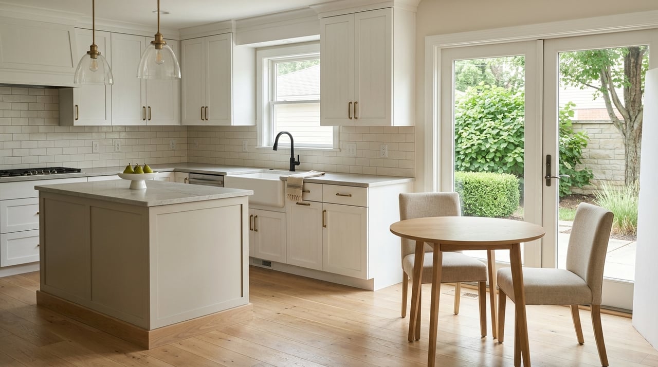
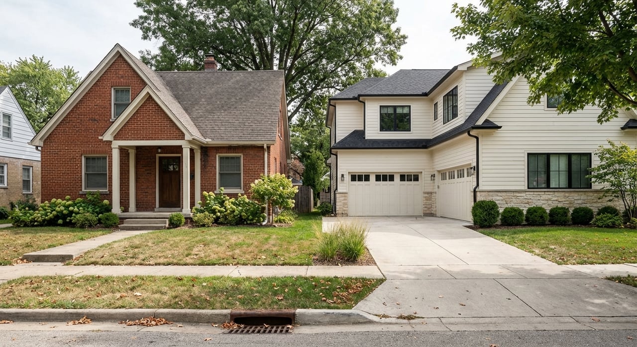
A helpful example is the Dardenne Greenway around Barathaven, which draws buyers who value trails and lakeside scenery. It offers a strong lifestyle feel with outdoor access that many families love. Explore the Dardenne Greenway at Barathaven.
School districts are also part of many buyers’ decision-making. Dardenne Prairie spans portions of Fort Zumwalt, Wentzville, and Francis Howell. If a specific district matters to you, verify the boundary for the exact address and then weigh the commute tradeoffs from there.
Many buyers now commute fewer days each week. If you go downtown once or twice weekly, you might accept a slightly longer one-way drive in exchange for a home with more space or closer proximity to parks and trails. If you go in daily, quick freeway access often rises to the top of the list. When we explore homes together, we will align the search with your expected in-office schedule to save time and stress.
Small changes to your schedule and route can pay off.
A commute is about more than miles. It is your daily energy, your family schedule, and the rhythm of your week. When you tour homes, bring your real-world work patterns into the conversation:
Ready to match your next home with a commute that works for your week? Let’s put a plan together that protects your time and supports your lifestyle. Reach out to Stacy Deutschmann to start a commute-smart home search.
Let me guide you through the complexities of buying or selling your home, eliminating hassles and stress. I look forward to working with you!